
Establishes core requirements for global authority files on historic places and their alignment
See our Activity Charter here
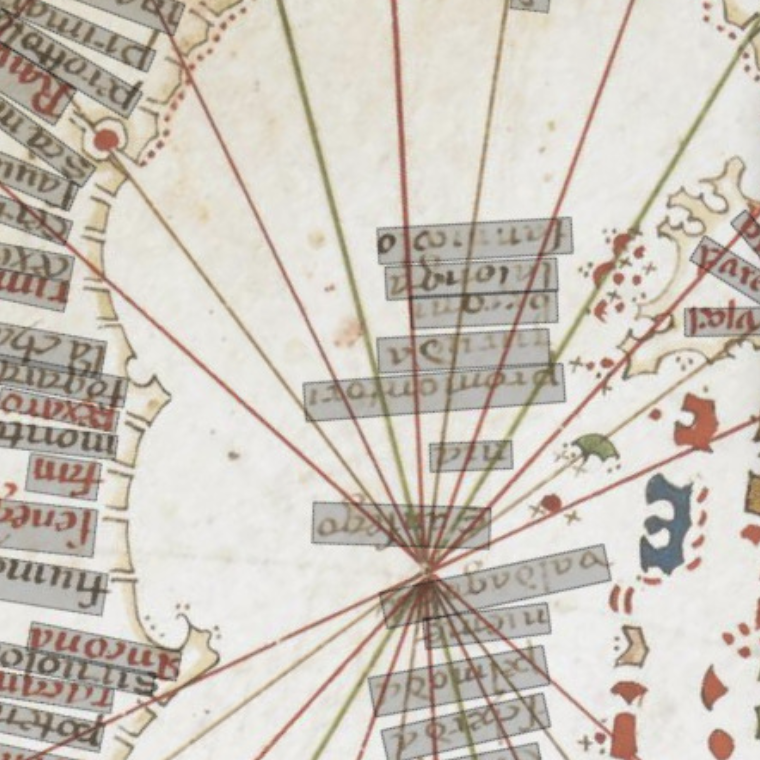
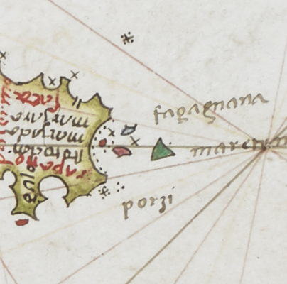
Probably originating in the 13th century, portolan charts (the medieval answer to the modern Admiralty chart) contradict every normal preconception about medieval cartography being inexact - everything is where you would expect it to be. An average chart lists perhaps 2000 ports and harbours, as well as natural features, especially the headlands which served as reference points for sailors.
Gazetteers are more than just lists of places. To digital humanist, they are invaluable tools for organizing information. They provide unique identifiers - in the form of URIs - enabling us to connect data coming from different digital sources, archives, and libraries more easily. But gazetteers are also a subject of research of their own, helping us to define and analyse our geographical knowledge of the past, and interrogate the nature of what we call “a place”.
The project aimed to test the applicability of Recogito within the field of Ottoman studies and to function as a starter towards the ambitious project of compiling an Ottoman gazetteer.
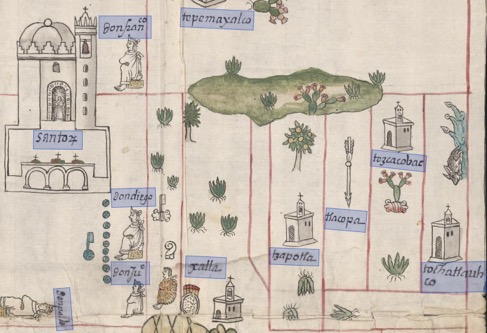
The project ‘Digging into Early Colonial Mexico: A large-scale computational analysis of sixteenth-century historical sources’ (DECM) at the University of Lancaster is developing novel methods and tools for mining data from both textual and pictorial historical records.
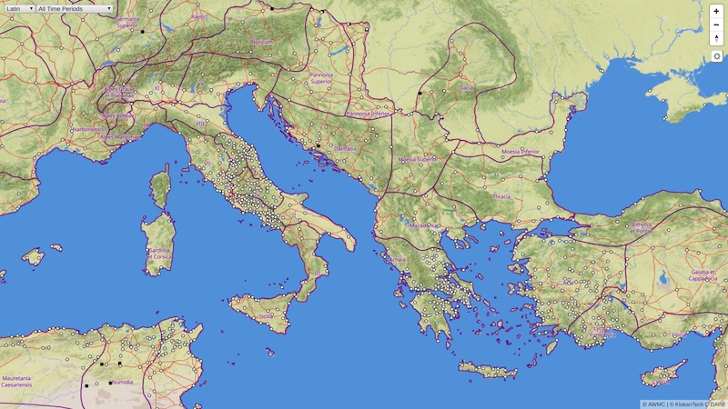
The Roman Empire Vector Map gives people a chance to explore the ancient Mediterranean world as it was during the Roman Empire. They can see much of the road network, discover original place names, and much more with the comfort similar to Google Maps.
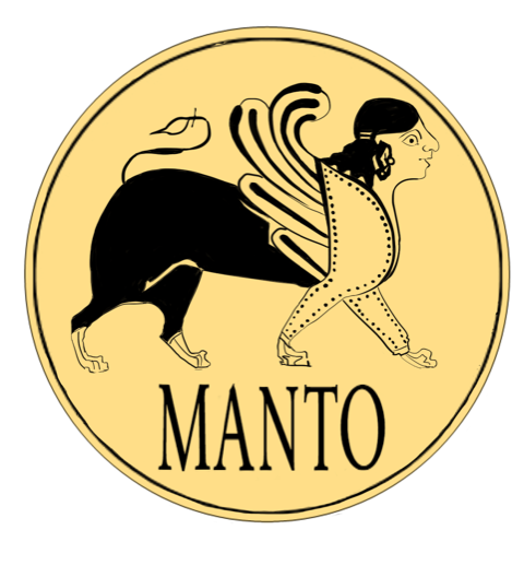
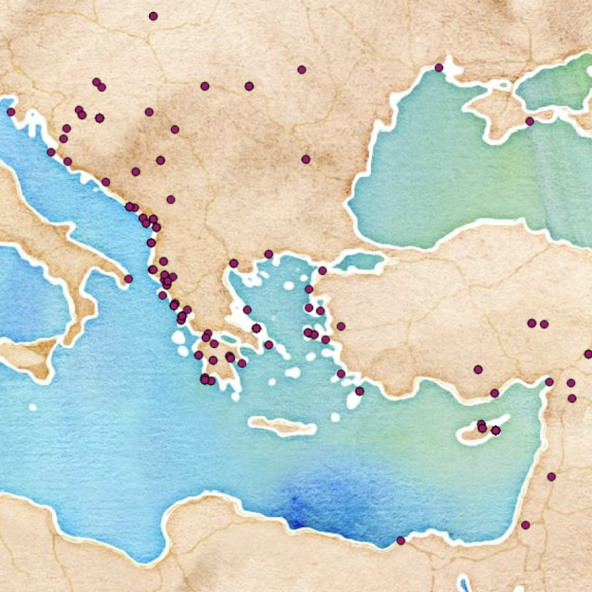
Manto is an initiative to model Greek myth and its impact on the Mediterranean.
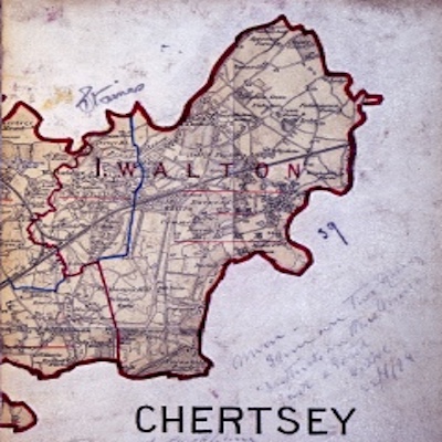
Using data from the Vision of Britain project to generate Pelagios Gazetteer Interconnection Format-compatible RDF.
Creating and linking resources relating to Ge’ez manuscripts and literature at the University of Hamburg.
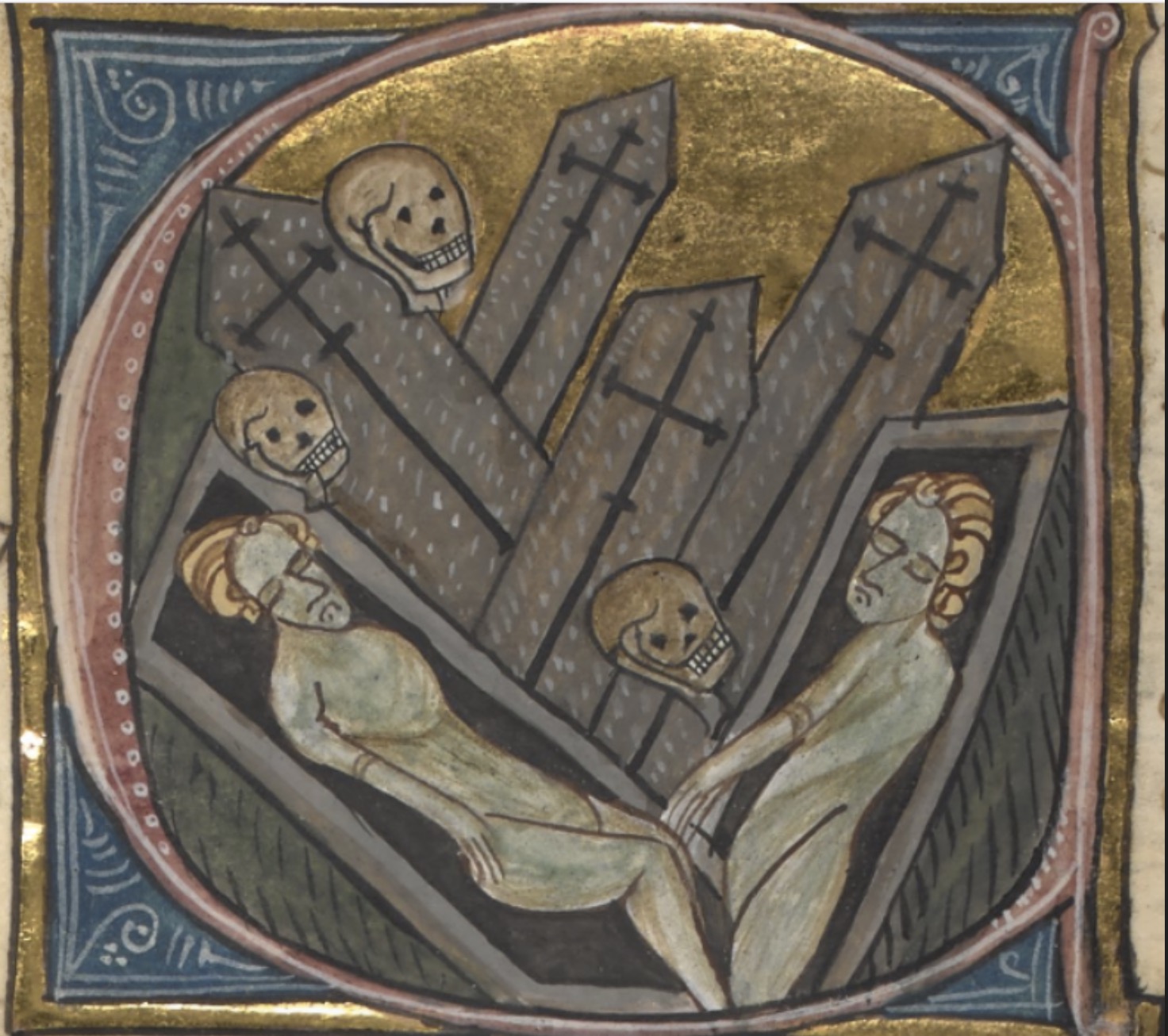
The Black Death Digital Archive (BDDA) is a multidisciplinary portal for researching the Second Plague Pandemic, i.e., outbreaks of plague that started with the mid-fourteenth-century Black Death and their recurrences across Afro-Eurasia during six hundred years, from the 1340s to 1940s.
Based at the Centro Argentino de Información Científica y Tecnológica in Buenos Aires, this partnership extends Pelagios methods to explore relationships between 16th and 19th century Spain and Latin America through historical, literary, and cartographic sources.
Based at the University of Exeter, Pelagios 7 supports the establishment of the Pelagios Network, until the end of 2019.
A small company offering software development and consulting services to clients in the humanities. Specialists in tools for textual scholarship, data modeling and management and spatial humanities.
Tracing the places of ancient Greece and the stories associated with them.

A gazetteer of time periods for linking and visualizing data.
Use your data in other tools, or connect to other data on the web, without the need to learn to code.

Trismegistos is an interdisciplinary portal (hosted at KU Leuven) for the study of Ancient World texts. The TM platform collects metadata of papyrological and epigraphical resources (mainly between 800 BC-AD 800) such as TM Places (gazetteer), TM People (prosopography),TM Collections (registry), …
ToposText is an indexed collection of ancient texts and mapped places relevant the the history and mythology of the ancient Greeks from the Neolithic period up through the 2nd century CE.
Viae Regiae aims to record the condition and development of highways (both roads and navigable waterways) in England and Wales between 1530 and 1680, the period during which began the network’s transformation from one serving primarily local agricultural markets to one fit for an emerging industrial economy.
A project of the World History Center at the University of Pittsburgh, the WHG is developing a spatially and temporally comprehensive database of significant world historical place names.
Connecting specialists to develop Linked Data methodologies for the study of Gandhāran art and Buddhism.
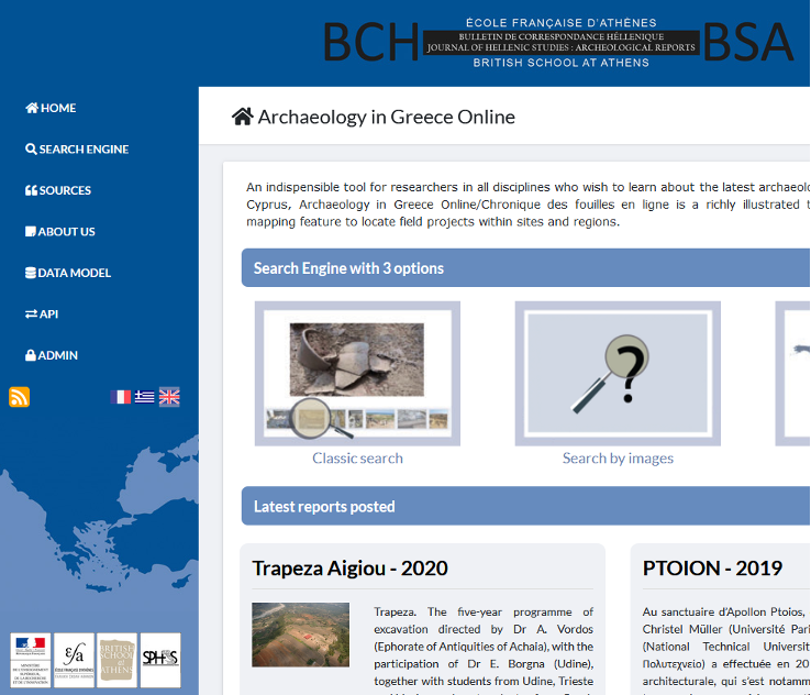
The open access illustrated topographical database for archaeological recent fieldwork in Greece and Cyprus.
In partnership with Harokopio University and the Institute of Historical Research of the National Hellenic Research Foundation.
A database containing the texts of Latin and bilingual (i.e. Latin-Greek) inscriptions of the Roman Empire.
Working with the German Archaeological Institute to support the creation of semantic geospatial annotations.
nodegoat is a web-based research environment for the humanities.
Open Context is a data publishing service maintained by the Alexandria Archive Institute